
Manage World Coordinates
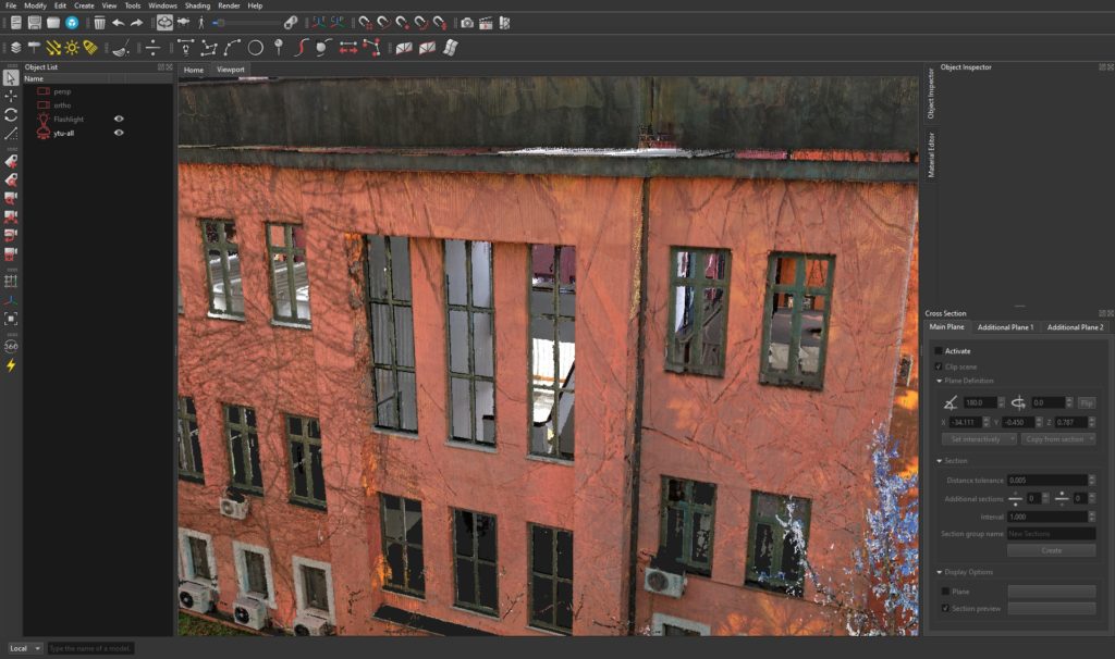
Georeferenced point clouds, meshes, and CAD models can have large coordinates that can easily challenge GPUs and cause precision issues. Affected point clouds can look rasterized or grid-like.
To avoid these issues when opening point clouds, select Origin from the Offset type dropdown menu in the Octree Options dialogue. Subsequently, point clouds will be rendered in the local coordinate system.

Keep in mind that NUBIGON always preserves original coordinates for exporting models extracted from a point cloud. You will not lose the georeferences even when rendering in the local coordinate system.
Example workflow: Drawing a floor plan based on a known global reference location.
Open Point Cloud with Origin as the Offset parameter value.
Import CAD file by choosing the reference point cloud from the Offset dropdown menu

Activate Snap to CAD

Define a horizontal cross-section plane through a reference curve vertex.

Create a section

To start drawing a floor plan on that section, activate Snap to Section and Snap to Main Plane

Activate the applicable drawing tool(s) and start to draw a rough outline
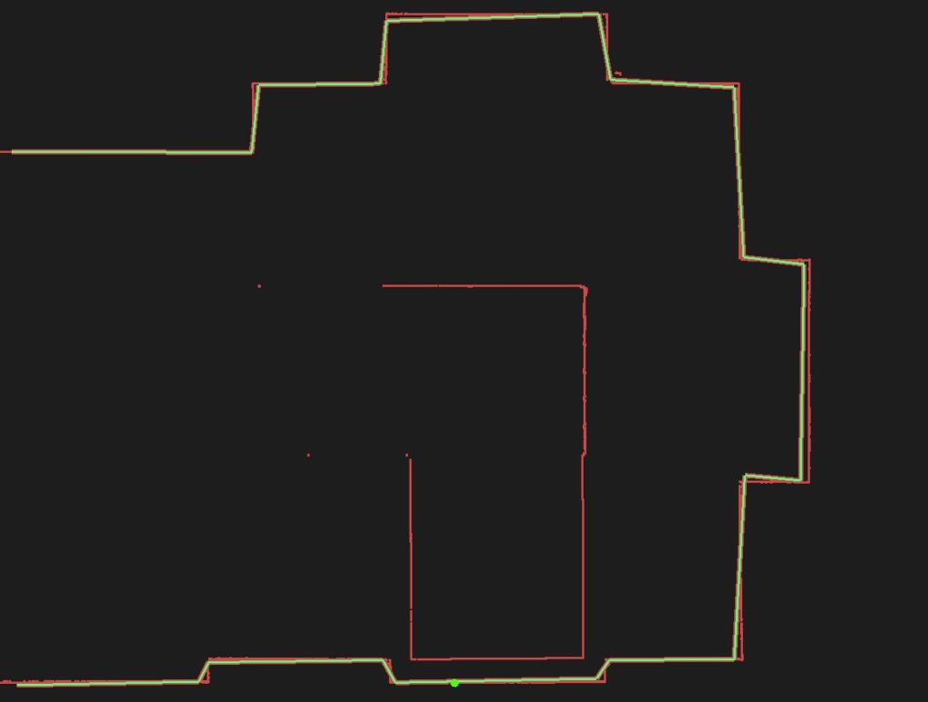
Fit the outline to the section by selecting both objects and clicking the Curve-to-Section icon ![]()

Export floor plan in the original coordinates by activating Offset to global and selecting the reference point cloud from the dropdown

0 Comments